Boundary Survey in {{CITY}}, {{STATE}}

Residential & Commercial Property Line Surveys in {{COUNTY}} County

Professional boundary surveys and property line surveys for homeowners, builders, and developers, from our licensed surveyors serving {{COUNTY}} County and the surrounding areas of {{STATE}}. Know exactly what you own before you build, fence, or buy.

01
About

What is a Boundary or Property Line Survey?

A boundary survey determines the location of property lines and the monuments that mark the property corners of a parcel of land as described in a deed. The licensed surveyor examines the deed, locates corner monuments (often called property pins, survey stakes, or property markers) in the field, and creates a certified drawing showing the exact property boundaries.

Unlike an ALTA survey, which follows a national standard for commercial properties, a boundary survey follows state-specific standards and is typically used for residential properties, fence installation, building permits, and property line disputes.

A boundary survey is the first step in knowing exactly what you own... Whether you are buying, building, fencing, or resolving a property line dispute.

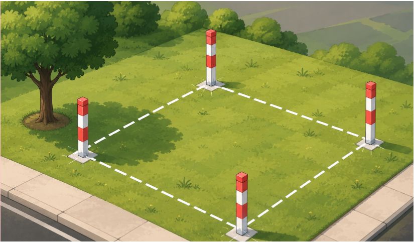
Staked and roped property corners marking a residential boundary
02
The Process

How a Boundary Survey Gets Completed

A boundary survey combines deed research, precise field measurements, and professional analysis to locate and mark your exact property lines. Here's how the process works from start to finish:

Deed Research

Your deed, previous surveys, and public records are reviewed to understand the legal description, boundary history, and any existing monuments called for in the deed.

Field Survey

A licensed surveyor visits the property to locate corner monuments, measure boundary lines, and collect precise data using GPS and total station equipment.

Boundary Analysis

Field measurements are compared against deed records and neighboring properties to resolve discrepancies and determine the exact property lines.

Certified Plat

You receive a signed and sealed survey plat showing property boundaries, corner monuments, improvements, and any identified encroachments or easements.

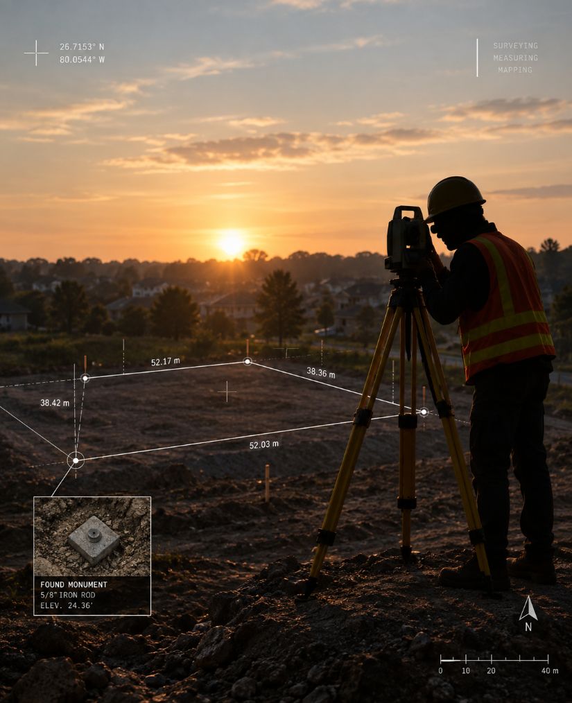
Surveyor operating a total station at sunset with survey measurement overlays
03
When You Need One

When Do You Need Boundary Surveying in {{CITY}}?

PROTECT YOUR PROPERTY AVOID DISPUTES BUILD WITH CONFIDENCE

A boundary survey is recommended any time you need to know the exact location of your property lines, corner monuments, or easement boundaries. Whether you are a homeowner, builder, or developer in {{COUNTY}} County, a licensed surveyor can help you avoid encroachments, settle property line disputes, and stay compliant with local setback and zoning requirements.

Building a Fence

A boundary survey marks your exact property lines so your fence goes in the right place - not encroaching on your neighbor's land and not leaving unused space on your side. Most municipalities in {{COUNTY}} County require a property line survey before issuing a fence permit. A survey done for a new fence is often called a fence survey.

Buying or Selling Property

A boundary survey confirms property lines and corner monument locations before a real estate transaction, protecting both buyer and seller from future boundary disputes. Title companies in {{STATE}} may require a property survey before issuing title insurance or approving a closing.

Building a Home or Addition

A boundary survey ensures your new construction stays on the lot and does not encroach on easement lines, setback requirements, or neighboring property. Most building permits in {{COUNTY}} County require a survey showing structures relative to the property boundaries.

Resolving a Property Dispute

If a neighbor's fence, driveway, or structure crosses your property line, a boundary survey provides the certified survey plat needed to resolve the encroachment. The plat can be used in mediation, legal proceedings, or boundary dispute negotiations.

Subdividing Property

A boundary survey is the first step in subdividing property - whether dividing land among family members or creating new buildable lots. The survey establishes existing boundary lines so the subdivision plat can be recorded with {{COUNTY}} County.

Installing a Pool or Shed

Most municipalities in {{COUNTY}} County require a boundary survey before issuing permits for pools, sheds, or garages near property lines. The survey confirms setback compliance and ensures the structure does not encroach on easements.

Call {{PHONE}}

Not sure if you need a boundary survey in {{CITY}}? Call {{PHONE}} and we'll help you figure it out.

04
What You Receive

What's Included in a Boundary Survey?

A boundary survey provides a certified survey plat (drawing) of your property showing the location of property lines, corner monuments, and important features. While the exact details vary by property, a typical boundary survey in {{STATE}} includes:

  • Property boundary lines with bearings and distances
  • Location of all found and set corner monuments
  • Existing structures - homes, garages, sheds, fences, and other improvements
  • Easements - utility, drainage, access, and rights-of-way
  • Neighboring property information and shared boundary lines
  • A professional survey plat signed and sealed by a licensed {{STATE}} surveyor
05
Cost

How Much Does a Boundary Survey Cost in {{CITY}}?

Boundary survey costs vary based on the size and complexity of the property, terrain, vegetation, and the availability of existing monuments. In general, boundary surveys cost less than ALTA surveys since they follow state-specific standards rather than the national ALTA/NSPS standard, and do not require deed research from a title commitment.

Factors that affect the cost include property size, lot shape, number of corners, amount of tree cover, and whether the property is in a recorded subdivision or a metes and bounds parcel. Properties with complex deed histories or missing corner monuments may require additional research time. Because of these factors, boundary surveys are not priced simply by the acre. A small lot with missing corners or heavy vegetation can take more work than a larger, clearly marked parcel. Rush service is available for permit deadlines and closing schedules.

To get an accurate quote, call {{PHONE}} or send us:

  • The property address or parcel ID
  • The purpose of the survey, such as a fence, a home purchase, an addition, or a boundary dispute
  • Any deadline, such as a closing or permit date
  • Your deed and any prior survey or recorded plat, if you have them
06
Service Areas

Boundary Survey Service Areas in {{CITY}}

Our licensed surveyors serve property owners, lenders, and real estate professionals throughout {{COUNTY}} County and the surrounding areas of {{STATE}}.

  • {{AREAS_SRV[0]}}
  • {{AREAS_SRV[1]}}
  • {{AREAS_SRV[2]}}
  • {{AREAS_SRV[3]}}
  • {{AREAS_SRV[4]}}
  • {{AREAS_SRV[5]}}
  • {{AREAS_SRV[6]}}
  • {{AREAS_SRV[7]}}
  • {{AREAS_SRV[8]}}
  • {{AREAS_SRV[9]}}
  • {{AREAS_SRV[10]}}
  • {{AREAS_SRV[11]}}
{{COUNTY}} COUNTYCounty-Wide Coverage
{{STATE}}Licensed Surveyors
2026ALTA/NSPS Compliant
Call {{PHONE}}
07
FAQs

Boundary Survey FAQs in {{CITY}}

A boundary survey determines the location of a property's boundary lines and the monuments that mark its corners based on deeds, plats, public records, field evidence, and the surveyor's professional analysis. The surveyor searches for existing corner monuments or other evidence, measures the property and relevant improvements, evaluates the evidence, and prepares a survey drawing showing the resulting boundary information.

Start with your deed and any survey included in your closing or title documents. If your property is in a recorded subdivision, the plat on file with the {{COUNTY}} County office that records deeds and plats shows the lot's dimensions. County GIS parcel maps are useful for a general picture, but their lines are approximate and are not a survey. On the ground, look for iron pins or other monuments at the corners; a metal detector can help locate a buried pin. Never move or disturb a survey marker. Only a survey by a licensed land surveyor can reliably locate your property lines. Our guide on how to find your property lines walks through each step.

Most permanent property line markers are iron rods or iron pipes set at the corners, often topped with a plastic or metal cap stamped with a surveyor's license number. Some corners are marked with concrete monuments, and corners in pavement may be marked with a PK nail. Wooden stakes with colored flagging are usually temporary and make a corner or line easy to see. Markers can be buried, bent, or removed over time. If a marker is missing or disturbed, a licensed surveyor can re-establish the corner from records and field evidence and set a new marker.

Boundary survey pricing varies with property size and shape, the number of corners, vegetation, terrain, access, deed complexity, the availability of existing monuments, and the amount of research required. There is no universal price for a boundary survey. Larger parcels, difficult sites, or complicated title history can cost more.

We respond to survey inquiries within 2-3 business days. Many residential boundary surveys are completed in about two to three weeks from authorization, but timing depends on the property and our current schedule. A straightforward lot with good records and accessible corners is usually simpler than a large, wooded, irregular, or poorly documented parcel. Closing deadlines, permit schedules, and rush requests can also affect availability.

A boundary survey is the appropriate way to establish the location of a property's boundary before placing a fence near a property line. It can identify the boundary monuments and show the line on a certified survey drawing. Using a neighbor's fence, tax map, online parcel map, or visual estimate as the property line can create a risk of encroachment.

In everyday homeowner conversations, "property survey" is often used as a general term for a survey of a property. "Boundary survey" is more specific and describes work focused on determining and depicting property boundaries. Because survey scope varies, a document described informally as a "property survey" should not be assumed to meet the requirements of a new boundary survey, lender, title company, or building permit.

A lot survey is generally a boundary survey performed on a platted lot within a recorded subdivision. The key distinction is the property context and legal description: a lot survey normally references a subdivision, lot, block, and recorded plat, while a broader boundary survey can also cover metes-and-bounds parcels, acreage, and other property descriptions.

A boundary survey can provide professional documentation of the surveyed property's boundary evidence, monuments, and line locations. If a fence, driveway, landscaping, or structure appears to cross a boundary, the survey may give the property owners and their attorneys a reliable basis for discussion or further action. A survey does not itself decide a legal dispute or provide legal advice; disputes may require an attorney or court determination.

A typical boundary survey deliverable is a survey drawing or plat prepared and certified by the responsible licensed surveyor. Depending on the scope, it may show boundary lines, corner monuments, bearings and distances, visible improvements, easements or encroachments identified during the work, and other requested information. We confirm the exact deliverable in the scope of work for your survey.

A survey can help a buyer understand the location of property boundaries and identify visible issues before closing. Whether one is required depends on the transaction, lender, title company, jurisdiction, and other circumstances. A buyer should not assume that an old survey or a seller-provided drawing is current or sufficient for the intended use.

Yes. Our boundary surveys are performed by, or under the responsible charge of, a land surveyor licensed in {{STATE}}, as state law requires for the practice of land surveying. The licensed surveyor responsible for your survey certifies the final drawing, and you can check that license through the state's professional licensing authority.

Request a land surveying quote

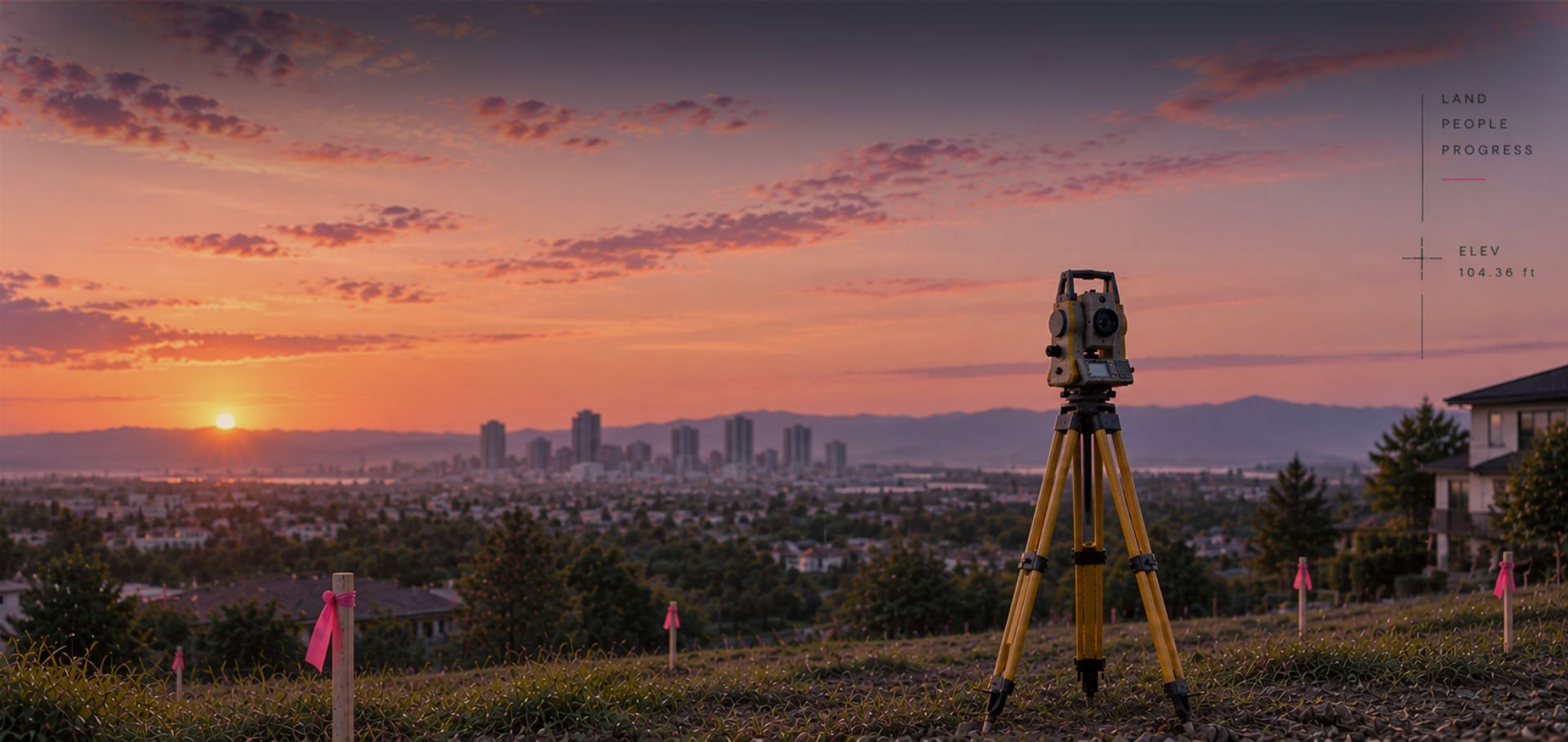
Surveyor with a total station in front of the city skyline

Send us a quick inquiry below for your land surveying needs and we will get back to you within 2-3 business days.

Get a Quote

Or Call us at:{{PHONE}}