ALTA Survey
- Commercial properties
- Multi-family sites
- National (ALTA/NSPS) standard

ALTA/NSPS Land Title Surveys for {{COUNTY}} County
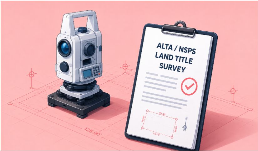
Professional ALTA/NSPS Land Title Surveys compliant with the 2026 standards. Our licensed surveyors serve property owners, lenders, and developers in {{COUNTY}} County and the surrounding areas of {{STATE}}.
An ALTA Title Survey is completed based on the "Minimum Standard Detail Requirements for ALTA/NSPS Land Title Surveys" - a national standard developed jointly by the title and surveying industries. Editions before 2016 were called the ALTA/ACSM standards, because the American Congress on Surveying and Mapping (ACSM) was the surveying partner before the National Society of Professional Surveyors (NSPS). It's the commercial property survey that lenders and title companies commonly ask for, used on commercial and multi-family properties, or when the lender or owner is in another state. The surveyor reviews the title commitment for survey-related exceptions and plots recorded easements on the final drawing.
Unlike state-specific standards that vary widely, ALTA standards ensure a consistent survey no matter where the work is done. This means lenders, title companies, and attorneys all work from the same page. The current standards are the 2026 ALTA/NSPS requirements, effective February 23, 2026.
ALTA/NSPS standards are the national standard for commercial land title surveys and are updated periodically. Recent editions took effect in 2016, 2021, and 2026. The 2026 standards are now in effect.
View the full ALTA/NSPS standards →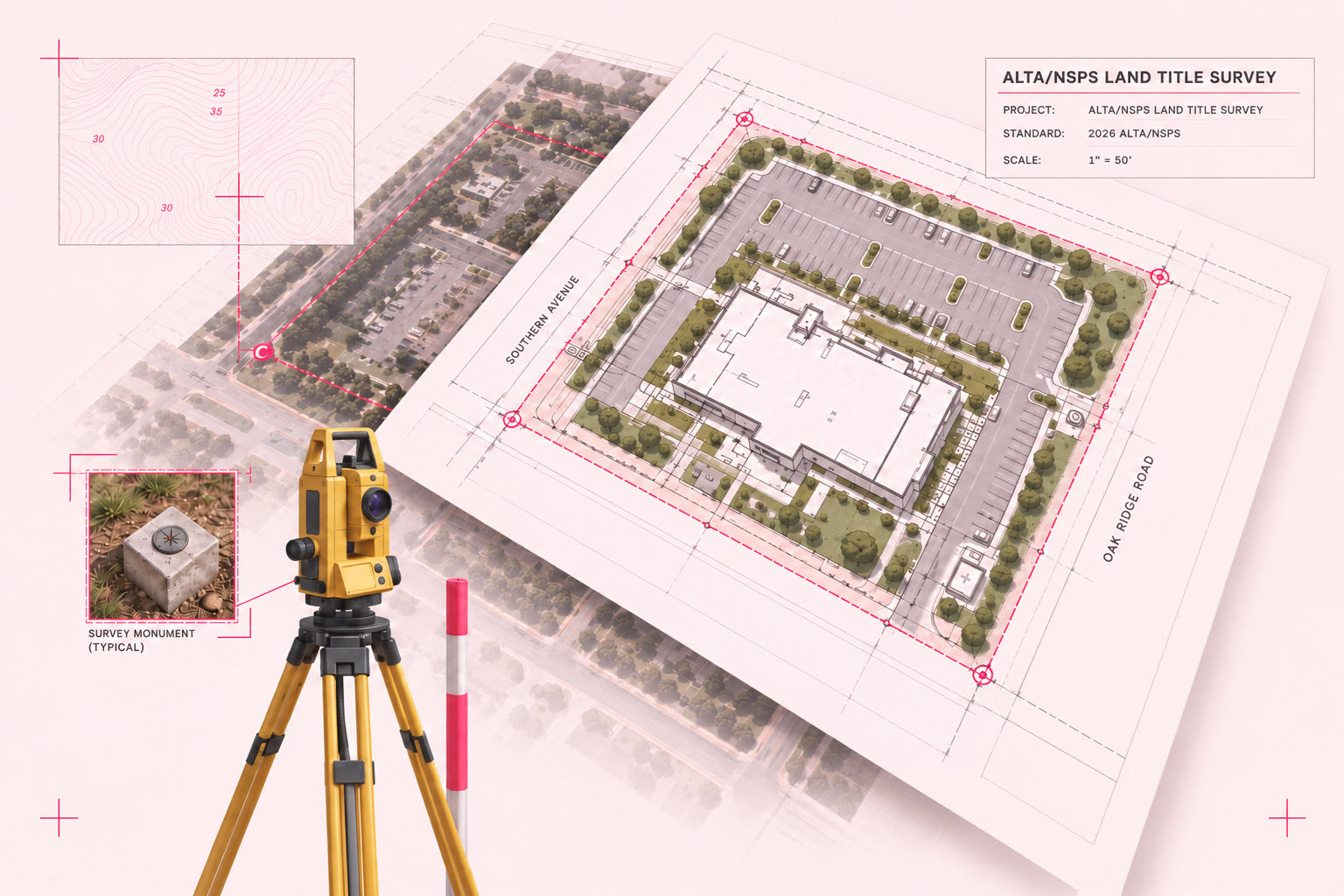
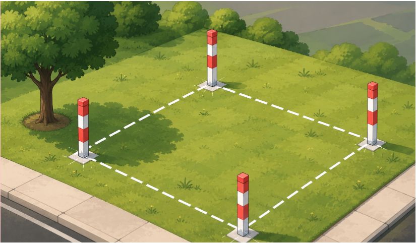
A boundary survey establishes the property lines and corners of a parcel, typically for residential use, fencing, or simple lot splits. It follows whatever standard your state has adopted, which means the level of detail can vary depending on where the property is located.
An ALTA survey goes further. It follows a national standard, requires deed research from the title commitment, and includes optional Table A items that add specific details like flood zone classification, topography, and utility locations. ALTA surveys are used when a lender or title company is involved - usually for commercial properties, multi-family sites, or transactions where the buyer or lender is out of state.
If a lender or title company is involved in your transaction, you almost certainly need an ALTA survey. Call {{PHONE}} and we'll help you figure it out.
The 2026 ALTA/NSPS standards include 20 optional Table A items. These 10 are commonly requested by lenders and title companies.
Monuments set at all major corners of the property boundary, unless the corners are already marked by existing monuments or witnesses.
The property's flood zone, scaled and plotted from the FEMA Flood Insurance Rate Map or the state or local equivalent.
The gross land area of the property, plus any other areas the client specifies.
Contours showing the lay of the land, with the source of the data, contour interval, datum, and originating benchmark noted.
From a zoning report or letter the client provides: zoning classification and setback, height, floor space area, and parking requirements listed (6a), and setbacks drawn on the plat (6b).
Exterior building dimensions at ground level (7a), footprint or other square footage (7b), and measured building height (7c).
Features observed in the field, such as parking lots, billboards, signs, swimming pools, landscaped areas, and substantial areas of refuse.
Evidence of underground utilities, from plans or reports the client provides (11a) and from markings made under a private utility locate request (11b).
Names of the owners of adjoining properties, according to current tax records.
A table summarizing potential encroachments over boundary lines, into easements and rights of way, and into setbacks, plus access or use of adjoining land without an easement.
ALTA survey standards provide a higher level of detail, consistency, and reliability - helping all parties move forward with confidence.
A nationwide standard that makes it easy for title companies to review and compare surveys, reducing delays and questions.
Most lenders, title companies, and other stakeholders are already familiar with ALTA standards, which helps keep your transaction on track.
The surveyor has the advantage of deed research from the title commitment before field work, providing a more comprehensive and accurate survey.
Includes a set of optional items (Table A) that can be ordered based on your needs, saving time and money by focusing on what matters.
Identifies potential encroachments and property line conflicts early, helping you avoid costly legal disputes later.
Allows title insurers to remove certain exceptions from your policy, providing cleaner title coverage and greater confidence.
A well-defined and consistent scope of work ensures reliable results, no matter the surveyor, and incorporates the latest technology and legal updates.
Since ALTA surveys take more time & effort, these surveys typically cost more than a survey done to a particular state standard. If the state standard is more restrictive on a certain point, then the most restrictive standard applies. The number of Table A items requested also affects the scope of the survey.
For a commercial property, cost also depends on property size, site accessibility, and the timeline. Rush service is available for closing deadlines, though a compressed schedule can add to the cost.
To get an accurate quote, call {{PHONE}} or send us:
Our licensed surveyors serve property owners, lenders, and real estate professionals throughout {{COUNTY}} County and the surrounding areas of {{STATE}}.

Send us a quick inquiry below for your land surveying needs and we will get back to you within 2-3 business days.
Or Call us at:{{PHONE}}