Most people do not think about land surveying every day.
For many homeowners and property buyers, a survey becomes important when something changes. You are buying a home. You want to build a fence. You are planning an addition. You are developing land. You are preparing for construction. You need elevation information. A lender or title company requests a survey.
At those moments, knowing where the property is located, where its boundaries are, what is already on the site, and how the land rises and falls can become extremely important.
Land surveying provides the measurements and professional analysis used to answer those questions.
What Is Land Surveying
Land surveying is the professional measurement and mapping of land, property, and existing site conditions.
A surveyor may determine or retrace property boundaries, locate or establish monuments, measure existing improvements, map topography and elevations, prepare survey drawings, establish construction control, or perform other work within the regulated practice of surveying and mapping.
State law, including in {{STATE}}, regulates the professional practice of land surveying. Each state defines that practice in its own terms, but the work generally involves determining and displaying facts such as the size, shape, topography, elevations, and legal or geodetic location of real property through direct measurement or accepted photogrammetric procedures.
The work can therefore range from a simple residential boundary survey to highly detailed commercial, construction, topographic, or aerial mapping projects.
Why Property Boundaries Matter
One of the most familiar reasons to hire a land surveyor is to understand where a property line is located.
A property line is not necessarily visible on the ground. A fence may not be on the legal boundary. Landscaping may cross a property line. A driveway may have been installed without reference to a current survey. An online parcel map may be useful for general reference without being a substitute for a boundary survey.
A professional boundary survey examines the legal description, recorded documents, existing monuments, physical evidence, measurements, and other relevant information. The surveyor then evaluates that evidence and prepares the boundary information within the scope of the survey.
This can matter when constructing a fence, purchasing property, planning an addition, investigating a possible encroachment, or addressing a question concerning the location of a property boundary.
Land Surveying and Buying a Home
For a property buyer, a survey can provide information that is difficult to obtain from photographs or a real estate listing.
A survey may show property boundaries, corner monuments, visible improvements, and other information included in the scope.
The buyer may also need a survey because of a lender, title company, attorney, purchase agreement, or local requirement. The exact requirement varies, so a buyer should confirm what type of survey is needed before ordering one.
A current survey can also help identify issues before closing rather than after the property has already changed hands.
Land Surveying and Fence Construction
Fence projects are one of the most common situations in which homeowners ask, "Where is my property line?"
A boundary survey can provide the professional basis for locating the property boundary before a fence is installed.
This is important because moving a fence after installation can be expensive and can create unnecessary conflict between neighboring property owners.
A survey can also reveal whether an existing fence appears to cross the surveyed boundary, although the legal consequences of an encroachment are matters for the appropriate attorney or legal process.
Land Surveying and Construction
Surveying is fundamental to many construction projects.
Before construction begins, architects, engineers, owners, and contractors may need reliable information about the existing property. The project may require boundary information, existing elevations, utilities, improvements, access, grades, and other features.
During construction, surveyors can establish control and place physical reference points that guide contractors. Construction staking can identify building corners, foundation locations, curb lines, utility alignments, grade information, and other planned improvements according to the approved project plans.
After construction, an as built survey can document the location and elevation of completed improvements when that work is included in the project scope.
Land Surveying and Topographic Information
A property can have the correct boundary information and still lack the elevation information needed for design.
This is where a topographic survey becomes useful.
A topographic survey maps existing elevations and physical features so architects, engineers, builders, and developers can understand the existing site.
Depending on scope, a topographic survey may include contour lines, spot elevations, grade breaks, drainage features, buildings, pavement, fences, retaining walls, trees, visible utility features, and other relevant improvements.
Accurate existing conditions can support site design, grading, drainage, utility planning, building placement, access, and earthwork decisions.
Land Surveying and Commercial Real Estate
Commercial real estate transactions often require more detailed survey information.
An ALTA and NSPS Land Title Survey follows a national standard developed for land title surveying and is commonly used in commercial transactions.
Depending on the requested scope, an ALTA survey can document boundaries, improvements, easements, rights of way, access, and other matters specified by the applicable standard and selected requirements.
The 2026 ALTA and NSPS Minimum Standard Detail Requirements took effect on February 23, 2026. The survey requirements for a specific transaction should be confirmed with the client, lender, title company, and responsible surveyor.
Land Surveying and Flood Risk
Elevation is another reason surveying matters.
Property owners may need to understand the relationship between a building and mapped flood information.
An Elevation Certificate can document relevant building and site elevations using the FEMA form and applicable professional requirements. The information can be useful for floodplain management, insurance evaluation, and certain FEMA map change requests.
A FEMA flood map and an Elevation Certificate serve different purposes. The map provides mapped flood hazard information, while the certificate documents surveyed elevations associated with the building and site.
Land Surveying Technology Has Changed
The purpose of surveying is old, but the technology used to collect and process information continues to evolve.
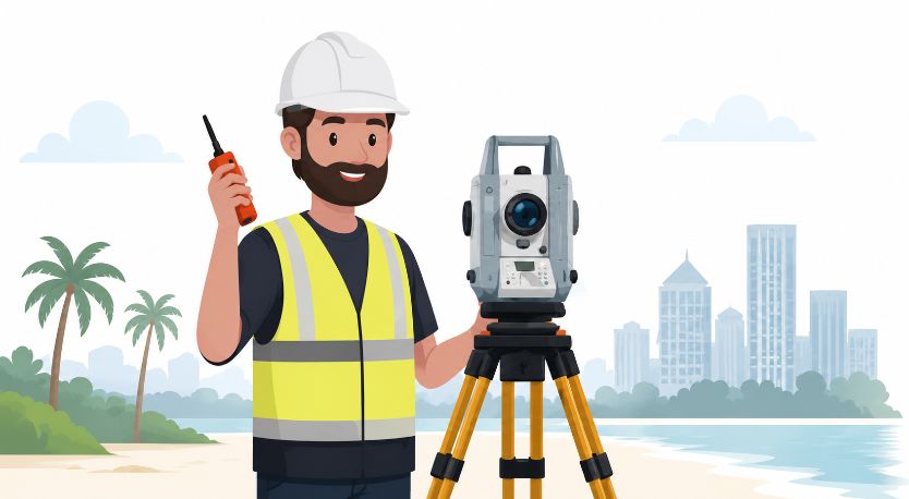
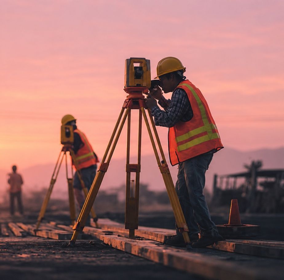
Modern land surveying can use total stations, survey grade GNSS equipment, digital data collection, geographic information systems, photogrammetry, LiDAR, drones, and computer aided design.
Drone LiDAR mapping can collect dense three dimensional point cloud data over large areas. Photogrammetry can use overlapping imagery to create detailed aerial mapping products.
These technologies can increase coverage and improve the efficiency of certain mapping projects, but they do not make every traditional survey unnecessary. A property boundary question may still require conventional field evidence, monuments, records, and professional boundary analysis.
Why Accurate Survey Information Matters
The common thread connecting all types of land surveying is reliable information.
A homeowner needs to know where the property boundary is. A buyer needs to understand what they are purchasing. An architect needs existing site conditions. An engineer needs reliable elevations. A contractor needs control and layout information. A developer needs information before investing in design and construction. A lender or title company may need a specific survey to support a transaction.
Without reliable measurements, decisions can be based on assumptions. A survey gives the project team professional information on which to base those decisions.
When Should You Hire a Land Surveyor
There is no single situation that covers every property owner. A land surveyor may be appropriate when you are:
- Buying or selling property
- Building a fence
- Planning an addition
- Investigating a property line
- Preparing land for development
- Designing a building or site
- Planning grading or drainage work
- Preparing for construction
- Closing a commercial property transaction
- Evaluating flood related elevation information
- Checking existing improvements
- Planning a subdivision
The correct survey depends on the purpose of the project. A boundary survey is different from a topographic survey. An ALTA survey is different from a lot or closing survey. Construction staking is different from both.
Start With the Project, Not the Survey Name
If you are not sure what kind of land survey you need, start by explaining what you are trying to accomplish.
Tell the surveyor whether you are buying property, building a fence, preparing for construction, developing land, dealing with flood information, or completing a commercial real estate transaction. The purpose of the survey helps determine the appropriate scope.
For property owners in {{CITY}} and throughout {{COUNTY}} County, the licensed surveyors at {{SITE_NAME}} can discuss your project and recommend the appropriate survey. Call {{PHONE}} or submit a quote request to get started.
Get a Quote